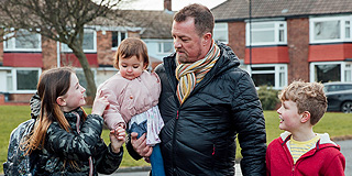

How geospatial can ensure patients from a closing GP Practice get fair treatment
Objective
What we did
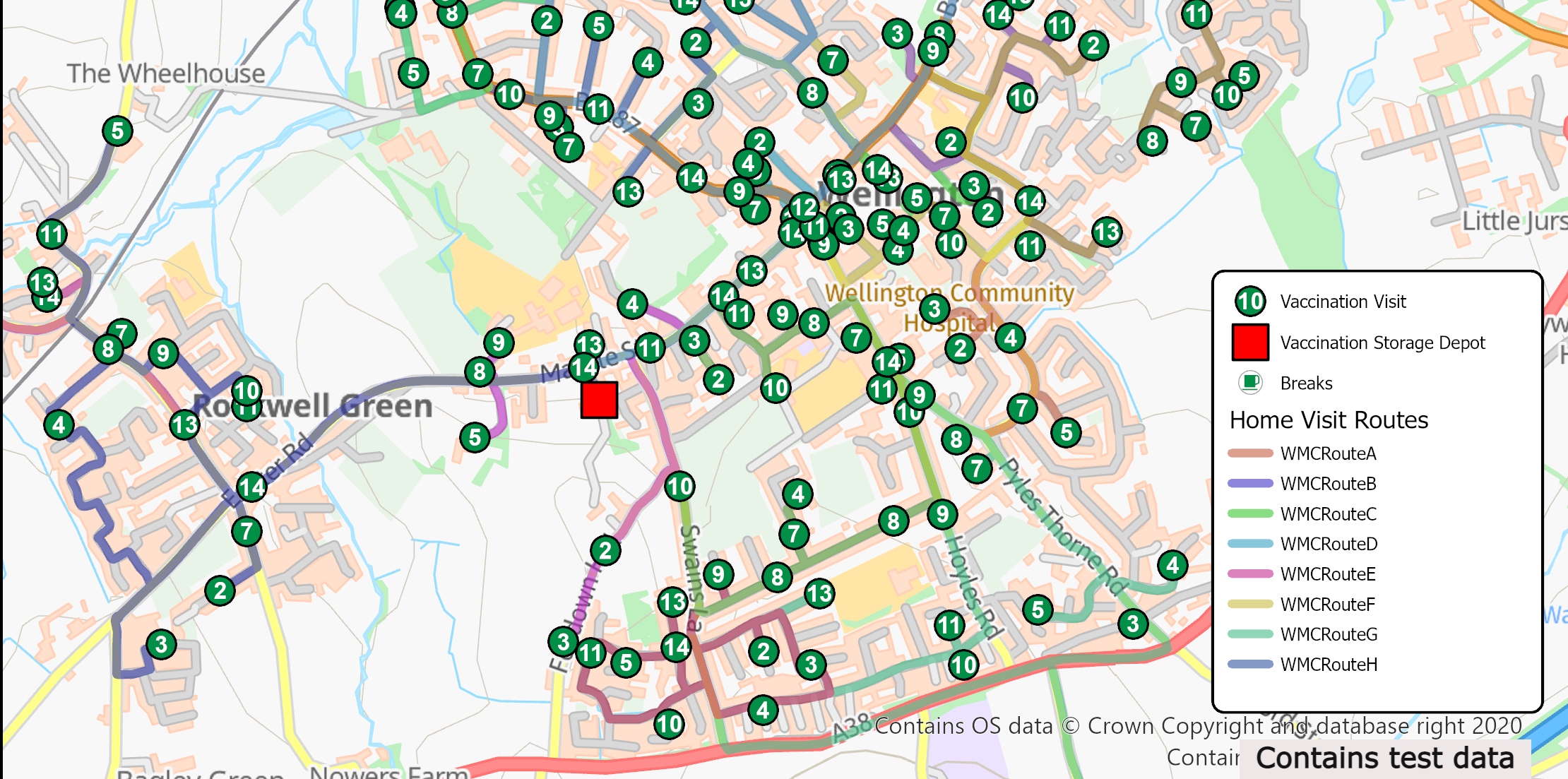
Our geospatial team used its skill and experience and its geospatial mapping system, ArcGIS, in several important ways to ensure the best outcomes. Patients of the closing practice can be taken on by neighbouring practices, but only if the practices have capacity and the patients reside within their contractual boundaries. This was where our expert support could help.
o The first step was to use mapping to agree the correct boundaries. This was followed by running travel analyses of the time taken for patients to get to each practice to make a sensible estimate of the demand on each of the candidate neighbouring practices. This information was essential for agreeing how many patients each practice would be prepared to take on.
o The survey technology available within the ArcGIS system was then used to offer each patient options from a list tailored to their location.
o Finally, patient location, practice boundaries, survey responses and travel times were used in a dispersal model to plan the reallocation of patients, with each step being agreed with the ICB.
Activity
Geospatial services (GIS)
Geospatial applications
Data driven decision making
Outcome
Geospatial input enabled the ICB to consider all the options available and to understand patient views through the survey facility, then make fair and defensible decisions about what will happen to the closing practice’s patients.